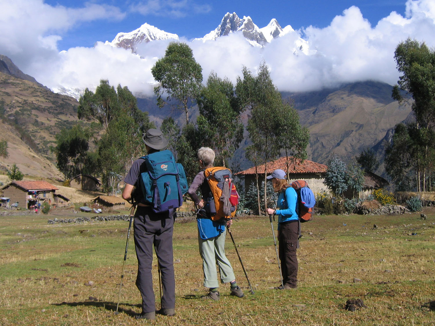
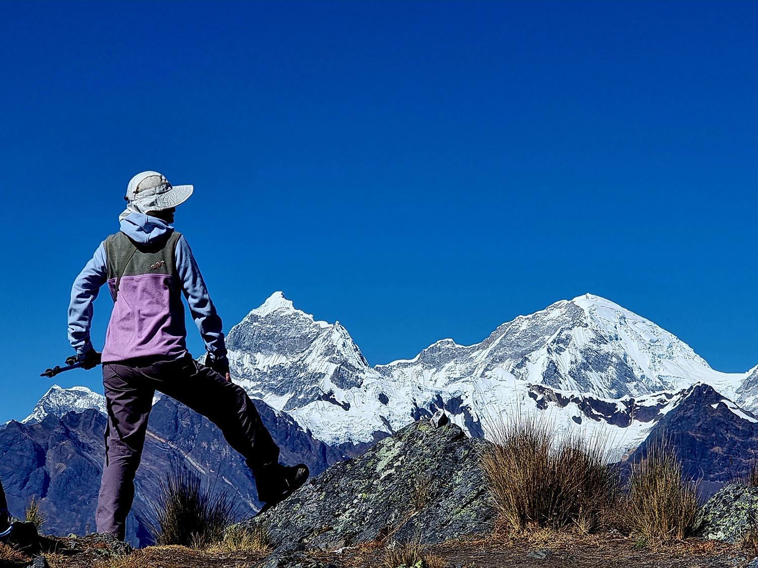
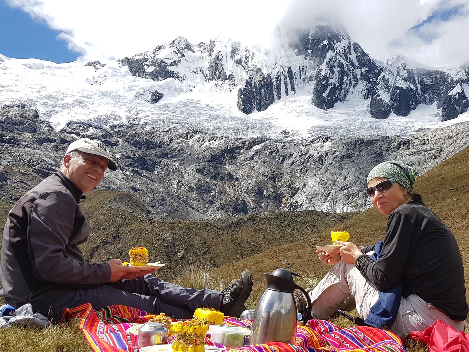
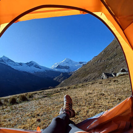
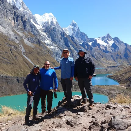
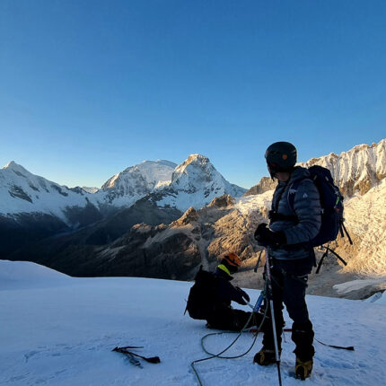
The Cedros–Alpamayo & Santa Cruz Trek – 11 Days is the ultimate adventure for hikers seeking to experience the best of Peru’s Cordillera Blanca.
This extended route combines two of the most spectacular trails — Cedros–Alpamayo Circuit and the classic Santa Cruz Trek — creating a continuous expedition through dramatic valleys, turquoise lakes, and the iconic pyramid-shaped Alpamayo (5,947 m / 19,511 ft), known as “The Most Beautiful Mountain in the World.”
A challenging but rewarding high-altitude journey — exclusively operated by Inkaland Treks for trekkers who want the most complete Cordillera Blanca experience.
This 11-day trek traverses remote valleys, glacial lakes, and passes over 4,800 meters, connecting the Cedros Valley with the legendary Santa Cruz Valley.
You’ll explore isolated Andean communities, panoramic passes such as Osoruri (4,860 m) and Punta Unión (4,750 m), and camp beneath Alpamayo’s towering face.
The circuit offers a perfect balance of solitude, scenery, and cultural immersion — ideal for well-acclimatized trekkers with prior hiking experience.
Quick Facts Cedros – Alpamayo & Santa Cruz Trek
- Location: Cordillera Blanca, Huascarán National Park
- Duration: 11 days / 10 nights
- Distance: ~120 km / 75 mi total
- Highest Point: 4,860 m / 15,944 ft (Osoruri Pass)
- Difficulty: Moderate to Challenging
- Best Season: May – October (dry season)
- Start / End: Hualcayán → Cashapampa → Huaraz
- Group Size: Small groups (max 8) or private treks
Highlights Cedros – Alpamayo & Santa Cruz Trek
- Combine two legendary treks: Cedros–Alpamayo & Santa Cruz in one route
- Admire the world-famous Alpamayo (5,947 m) — “The Most Beautiful Mountain in the World”
- Cross six high passes over 4,500 m including Osoruri, Vientunan, Gara Gara, Yanacon, Pucaraju, and Punta Unión
- Explore turquoise glacial lakes: Cullicocha, Arhuaycocha, Ichiccocha, Jatuncocha
- Camp in remote valleys surrounded by Andean peaks
- Guided by professional English-speaking mountain guides with full Inkaland Treks expedition support
Itinerary at a Glance
| Day | Route | Distance | Max Elevation | Hiking Time | Highlights |
| 1 | Huaraz → Hualcayán → Huishcash | 8 km / 5 mi | 4,200 m / 13,779 ft | 5–6 h | Begin trek, first ascent |
| 2 | Huishcash → Osoruri | 10 km / 6.2 mi | 4,860 m / 15,944 ft | 6–7 h | Cross Osoruri Pass & lakes |
| 3 | Osoruri → Vientunan Pass → Jancarurish | 11 km / 6.8 mi | 4,770 m / 15,650 ft | 6–7 h | First views of Alpamayo |
| 4 | Jancarurish → Alpamayo Viewpoint → Jancarurish | 5 km / 3.1 mi | 4,450 m / 14,600 ft | 3 h | Rest day & viewpoint |
| 5 | Jancarurish → Gara Gara Pass → Mesapampa → Huillca | 14 km / 8.7 mi | 4,830 m / 15,846 ft | 7 h | Mountain passes & valleys |
| 6 | Huillca → Yanacón Pass → Jancapampa | 13 km / 8.1 mi | 4,600 m / 15,092 ft | 7 h | Descent into lush valley |
| 7 | Jancapampa → Tupa Tupa Pass → Quishuar | 12 km / 7.4 mi | 4,400 m / 14,436 ft | 7 h | Village encounters & alpine views |
| 8 | Quishuar → Pucaraju Pass → Tuctu | 13 km / 8.1 mi | 4,650 m / 15,256 ft | 7 h | Views of Huascarán & Chacraraju |
| 9 | Tuctu → Punta Unión Pass → Taullipampa | 11 km / 6.8 mi | 4,750 m / 15,584 ft | 8 h | Cross the legendary pass |
| 10 | Taullipampa → Alpamayo Base Camp → Arhuaycocha → Llamacorral | 20 km / 12.4 mi | 4,420 m / 14,501 ft | 9 h | Visit Alpamayo & turquoise lakes |
| 11 | Llamacorral → Cashapampa → Huaraz | 10 km / 6.2 mi + 95 km drive | 2,900 m / 9,514 ft | 4 h + 3 h drive | Final descent & return |
All distances and times are approximate and may vary depending on weather and pace.


